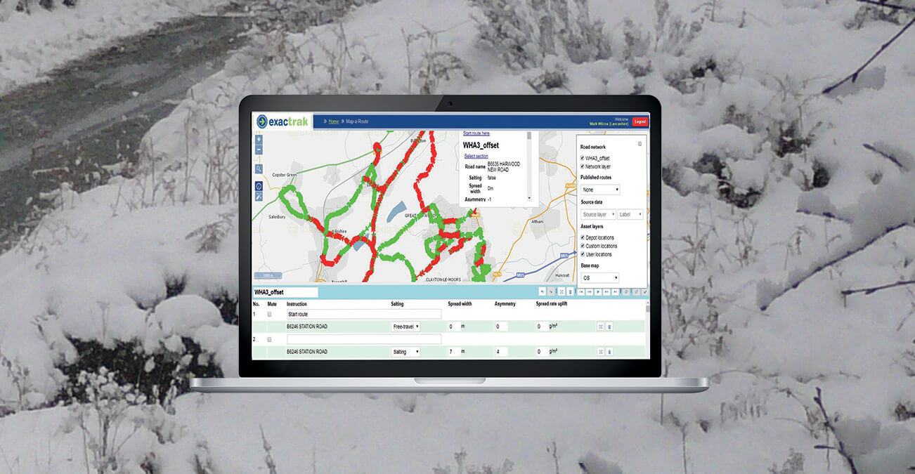
Design, update and manage winter maintenance routes in minutes with Map-a-Route.
How-to guide
- Zoom to any area within the United Kingdom (excluding Ireland and NI). Choose a starting point and simply add sections to a route by clicking on network links. Clicking from point A to B will digitise the beginning of a route. From there on, simply click down the road to start digitising the entirety of a route.
- As a route is built and developed, instructions are automatically generated on screen in the route card area by pulling data from the OS Highways Network. Each section of a route can have customised instructions applied e.g. ‘turn right at the Pig & Whistle’. The software alerts users to any invalid errors such as creating a route with gaps or driving in the wrong direction.
- Route statistics including total distance, service distance, salt used, estimated mileage and time to complete are displayed on screen as the route is being digitised. These statistics can be used to manage salt stores more efficiently through the automated salting tool which calculates against a selected spread rate to determine if a journey will be completed in one go, or if the gritter will need to go back to the depot during the route for a salt refill.
- Status (salting or travelling) and attribute (spread width or asymmetry) can be edited by selecting the relevant areas on the map and amending in the route card area e.g. for areas that may be prone to black ice and need extra salting. The software is also configured to work with motorway gritting, by providing driving lane and gritting lane instructions (in addition to spread width and asymmetry).
- Before publishing, the route can be previewed using the ‘play animation’ tool, which eases reviewing and editing. Published routes are then created digitally and loaded into the gritter, enabling drivers to be guided along their selected route using the Exactrak Navtrak in-cab navigation system. Finished routes can also be exported from the system as a route card in web, PDF, Excel or shapefile formats.
- The activity map selectable via the Exactrak web portal shows all gritter journeys in real time and can alert the depot if a gritter deviates from the published route.


