In-cab route navigation
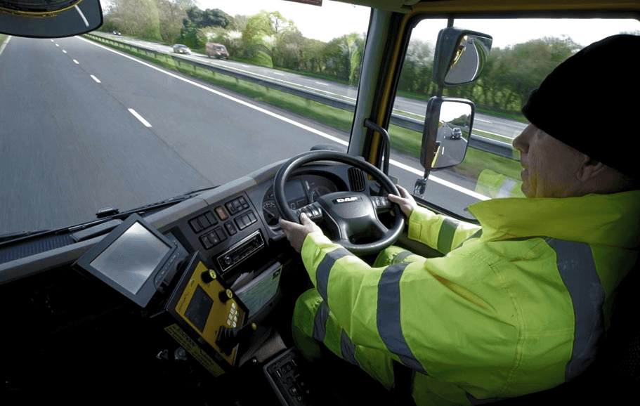
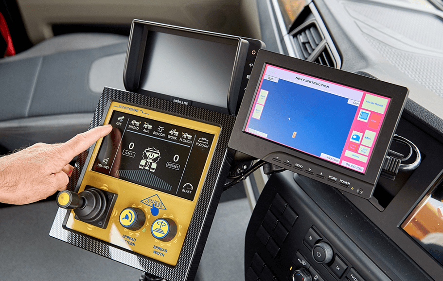
E-marked rugged PC and touch screen unit, with visual based guidance and audio prompts.
Navtrak has the ability to store up to 999 pre-planned routes in it’s small yet powerful unit. It enables any driver to be assigned to any vehicle and drive a route without any prior training. The system visualises the route over highly detailed OS maps and indicates directions to take, while the friendly audio prompts and instructions make sure no turn or action is missed.
We provide mapping layers to suit your application, including highly accurate Ordinance Survey MasterMap Highways Network maps, open street mapping and Google terrain layers. Customised layers and views can be configured through our Geospatial solutions.
OS MasterMap ITN Layer allows our customers to create optimised navigation routes for local authority vehicles which are more than just the fastest route from ‘A’ to ‘B’. They include vital detail such as widths of roads, speed restrictions and vehicle weight and height restrictions enabling the most appropriate route to suit the vehicle and the service it delivers.
The maps themselves are licensed to local authorities through membership of the Public Sector Mapping Agreement (PSMA), which allows public sector organisations to use our mapping products to support the provision of public services.
Within Exactrak, we provide a comprehensive suite of both standard and configurable management reports. The report dashboard includes a wizard allowing users to create their own reports so that they can access the exact data needed. Report data can be extracted from winter maintenance exception reports, idles times and time spent at specific locations, to mileage reports and driving style reports.
These reports can be generated as you go or scheduled to run automatically. All reports can be accessed 24/7 and sent to either you or a colleagues’ inbox on a daily or weekly basis, allowing you to make informed management decisions and ensure you realise a high return on your investment.